Thermal Drones
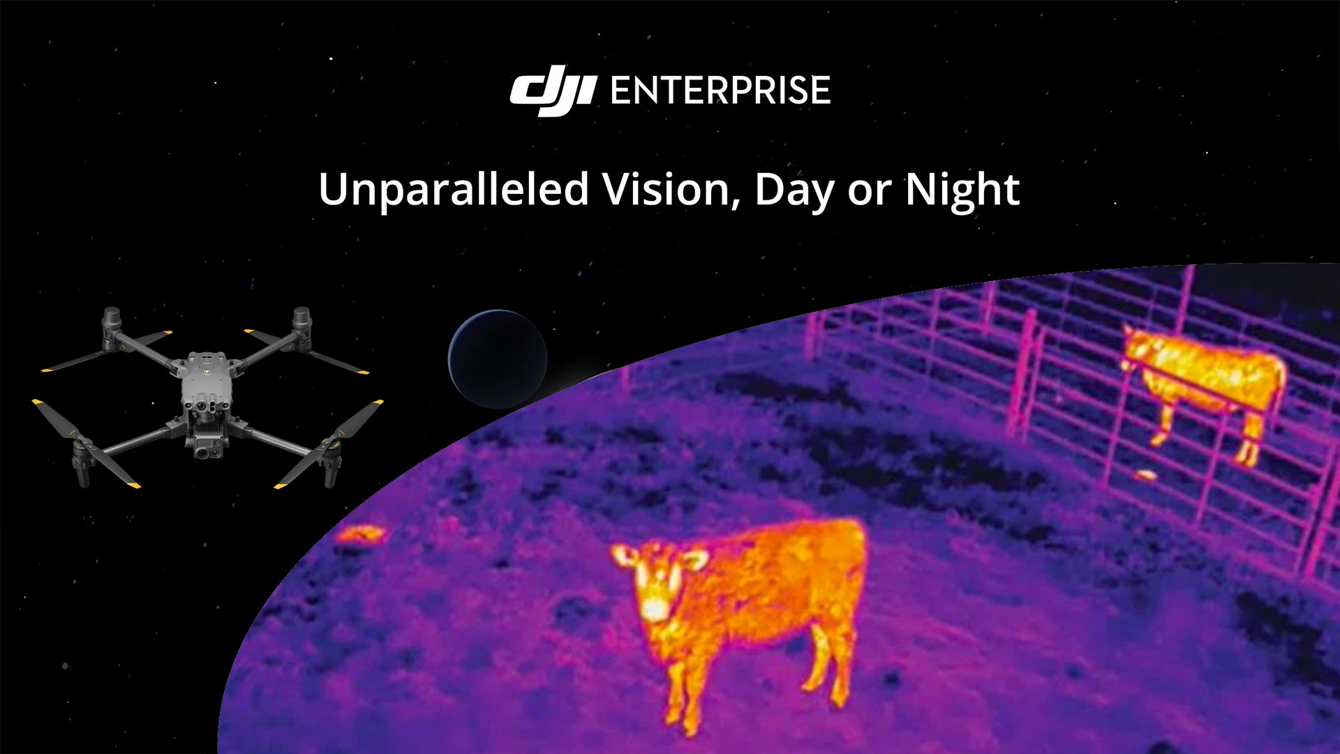
Thermal drones have revolutionized the industry by providing critical insights through heat pattern detection, making inspections, agriculture monitoring, and emergency services faster, more accurate, and cost-effective. These drones capture thermal data to identify issues invisible to the naked eye, enhancing the ability to detect hotspots, monitor temperature variations, and ensure infrastructure safety. They range from basic models for general thermal imaging to advanced versions equipped with high-resolution thermal cameras and optional RTK for precise positioning. Selecting the right thermal drone enhances operational efficiency and data quality, transforming how professionals approach thermal inspections.
To ensure you maximize your investment, we provide comprehensive training with each thermal drone purchase.

DJI Mavic 3 Thermal
The DJI Mavic 3 Thermal is a highly capable drone designed for thermal imaging and temperature measurement tasks.
Key Features:
- High-resolution thermal imaging
- Optional RTK for enhanced georeferencing accuracy
Use Cases:
- Security
- Building and infrastructure inspection
- Agricultural monitoring
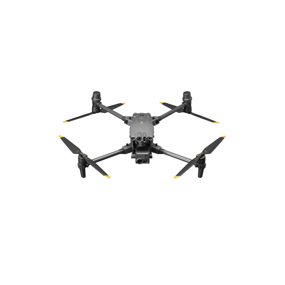
DJI Matrice 30
The DJI Matrice 30 is a compact, portable drone designed for various professional applications. The Matrice 30 supports precise surveying and thermal imaging, with RTK available as an optional feature for enhanced positioning accuracy.
Key Features: 3D Modelling, topographical terrain surveys, thermal inspections.
Use Cases: Security, Public safety, emergency services, infrastructure inspection, remote area surveys
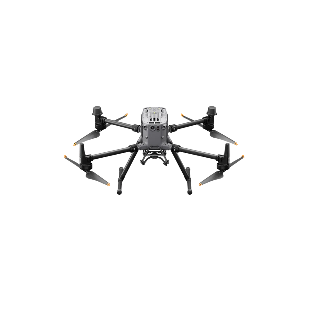
DJI Matrice 350 with Thermal Attachment.
The DJI Matrice 350 is a versatile drone for professional surveying and mapping, supporting LiDAR and thermal cameras, with optional RTK for precise positioning.
Key Features: 3D Modelling, topographical terrain surveys, thermal inspections, LIDAR surveys.
Use Cases: Security, Industrial inspections, emergency response, topographical surveys

