Multispectral Drones
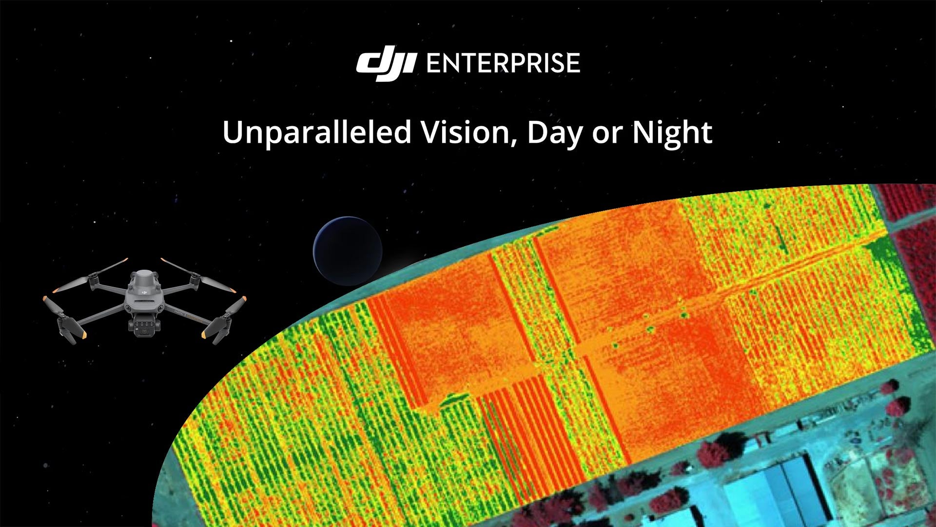
Multispectral drones have revolutionized the agricultural and environmental monitoring industries by making data collection faster, more accurate, and cost-effective. These drones capture high-resolution multispectral data, enabling detailed crop health analysis and environmental assessments. One key application is NDVI (Normalized Difference Vegetation Index) mapping, which provides insights into plant health, allowing for precise and informed decision-making. They range from basic models for general monitoring to advanced versions with RTK for precise georeferencing and data accuracy. Selecting the right multispectral drone enhances workflow efficiency and data quality, transforming how professionals approach agricultural and environmental surveying.
For any questions and to learn more about our full training programs on using these advanced drones, please contact us.

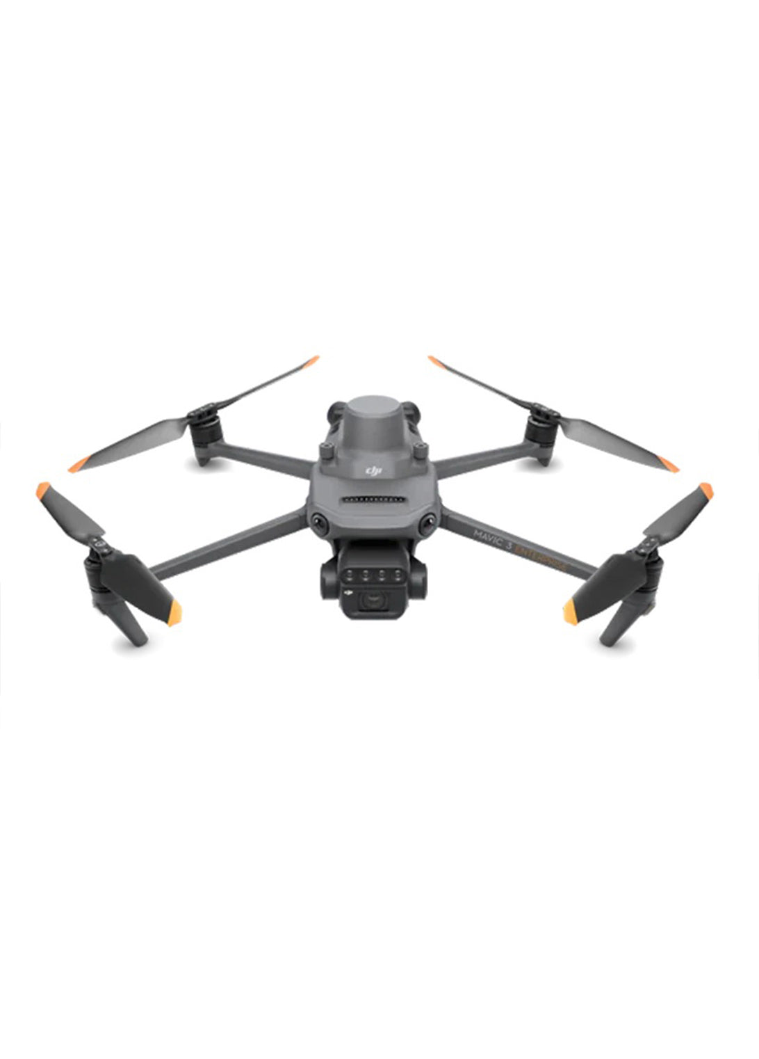
DJI Mavic 3M Enterprise
The DJI Mavic 3 Multispectral is a highly capable drone designed for precision agriculture and environmental monitoring. It comes with an integrated multispectral camera system for detailed crop health analysis and NDVI mapping, and includes RTK for centimeter-level positioning accuracy.
Key Features:
- Integrated RGB and multispectral cameras for comprehensive data collection
- RTK module for precise georeferencing
- Built-in sunlight sensor for accurate NDVI results
- Long battery life, up to 43 minutes of flight time
Use Cases:
- Crop health monitoring and analysis
- Environmental and natural resource surveys
- Precision agriculture applications such as prescription mapping and intelligent field scouting


